Wick John O'Groats airport information
Location information for EGPC
Coordinates: N58°27.53' / W3°5.58'
Elevation: 126.00 feet MSL
Magnetic Variation is 2° West
Opening Hours for EGPC (UTC)
Mon-Fri: 0700-1900
Sat: CLOSED
Sun: 1300-1500
(updated on 14/06/2024)
PLEASE NOTE:
A HIAL (Highlands & Islands Airport Ltd) out of hours (OOH) indemnity arrangement can be made in order to permit aircraft to operate out-with the published airport hours in daylight hours only. Far North Aviation and associated services are available 24/7.
Please see the links below for the OOH Indemnity Form and OOH Indemnity Policy.
| Wick Out Of Hours Indemnity Application Form- Issue 23 April 2023.pdf |
| CORP046- Arrangements for flights outside official opening hours.pdf |
Please send completed forms to our e-mail address at [email protected]
Airport Communications
WICK Approach: 119.705
WICK ATIS: 113.60
WICK Tower: 119.705
FAR NOR: 131.560
Runway 13/31
Dimensions: 1825m x 45m (5987ft x 148ft)
Surface: Hard grooved asphalt
Runway 13
Coordinates: N58°27.74' / W3°6.12'
Elevation: 114
Runway Heading: 131°
Displaced Threshold: 820 feet
Runway 31
Coordinates: N58°27.33' / W3°5.08'
Elevation: 114
Runway Heading: 311°
Displaced Threshold: 1017 feet
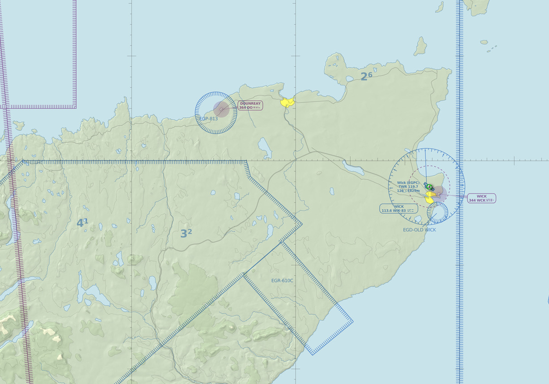
VFR Chart of EGPC
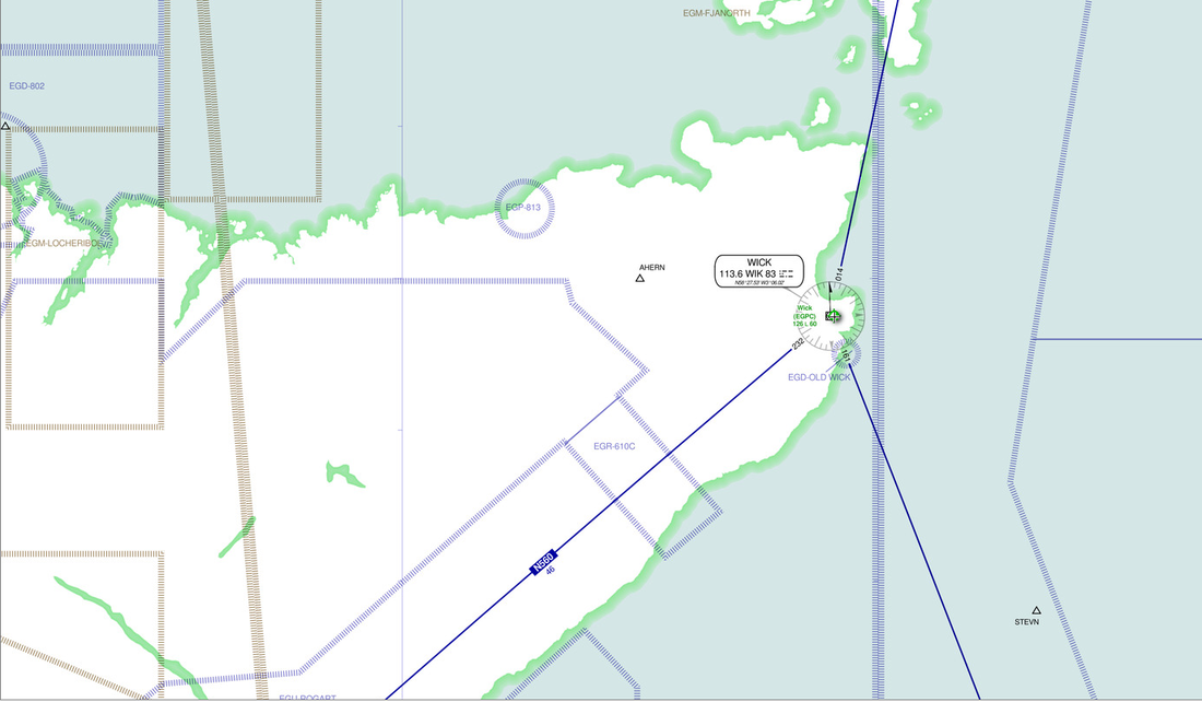
IFR Chart of EGPC

